Beatton River – Prototype Photos
January 27, 2023
There are very few prototype photos of Beatton River siding available. This is largely due to the remoteness of the location which is deep in the northern BC wilderness accessible only by rough oilfield roads.
The best photo that I know of is also the photo that served as the inspiration for the layout. It is a 1978 photo by Ken Perry that features in the J.F. Garden British Columbia Railway book. It shows the southbound Fort Nelson way freight meeting its northbound Chetwynd to Beatton counterpart.
As an aside this book should be considered the definitive reference guide for PGE and BCR modellers. Copies of it can be found online but can be quite expensive.

Another glimpse of Beatton River can be found in YouTube videos released by the Northern BC Archives a couple of years ago. They feature track inspection vehicle footage shot in the early 1970s shortly after the line from Fort St John to Fort Nelson was opened. These screengrabs taken from the video show the division point siding and crew camp at Beatton.


Footage of Beatton River bridge and siding from which these screengrabs were taken starts at the 1:10 mark of the following video:
More contemporary scenes from Beatton River under CN ownership can be found on Matt Watson’s excellent Flickr page. These two images show the very run-down speeder shed at the north end of the siding


The William Davies 2001 image below shows a West Coast Railway Association railtour stopping at Beatton River. The photo, taken looking north, shows 3 tracks as well as an additional stub ended siding in the foreground. The speeder shed is visible in the distance.

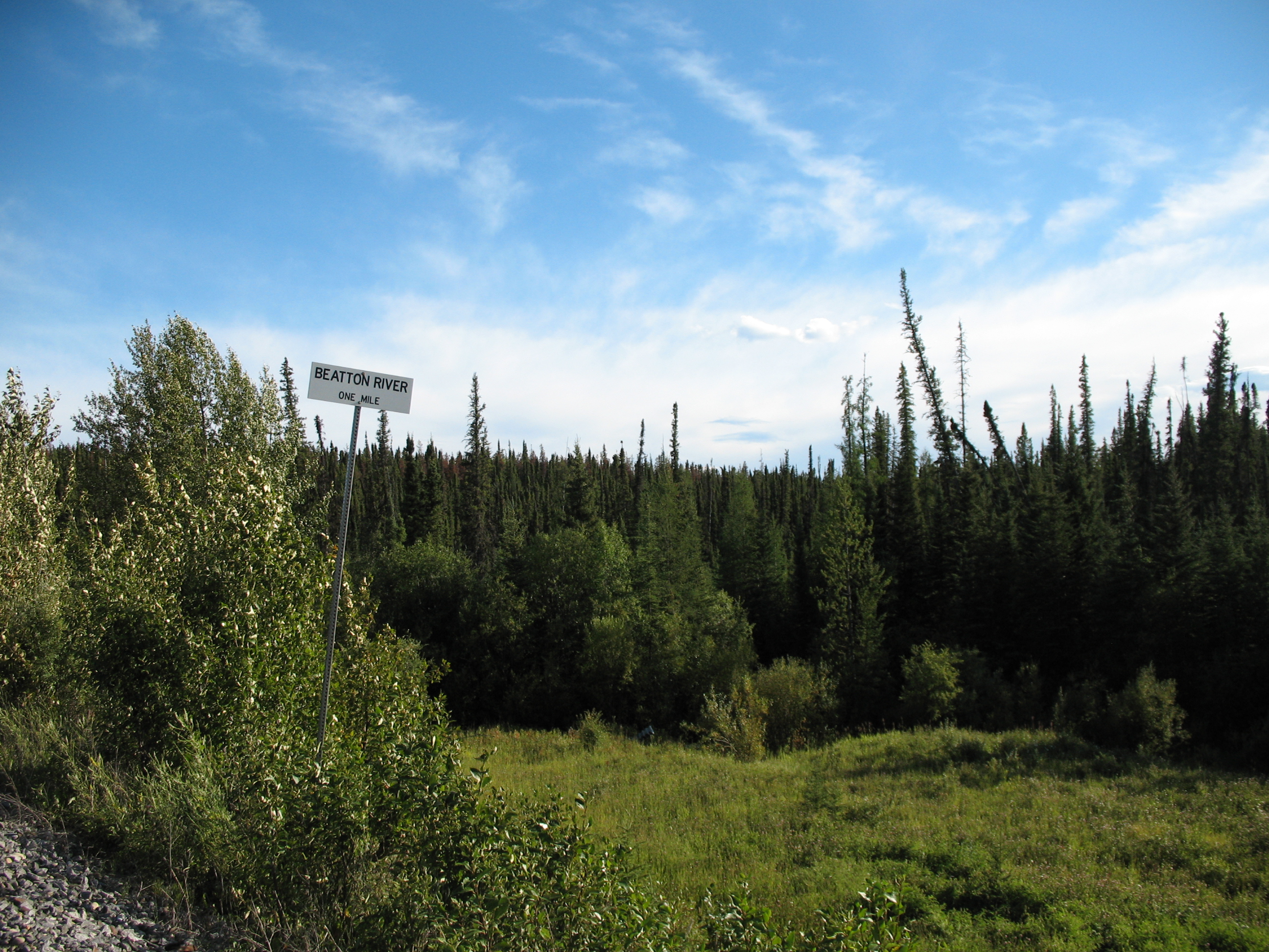
Finally, are the images I took back in 2013 on a hike out to Beatton River bridge with a good friend. While we made it to the bridge and got a series of excellent photographs, time did not permit an additional hike up to the Beatton River siding which is a shame as it was only 1 mile south from where these photos were taken.